


Virtual reality agriculture? Digital twin model targets growers' real-world irrigation and traceability needs


As artificial intelligence (AI) cements its hold on the world, digital tools continue to make their way through fields and orchards. Now, an innovative platform that combines extended reality and Low Earth Orbit (LEO) satellite connectivity seeks to help farmers manage irrigation and ensure operational traceability.


Born of a collaboration between the Tecnológico de Monterrey in Mexico and the University of Navarra in Spain, the system creates a complete “digital twin” of the crop that growers can use to visualize field conditions and potentially improve decision-making.
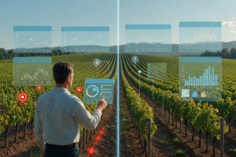
The solution allows producers to virtually test the impact of changes in irrigation or fertilization before implementing them, significantly reducing water consumption and the margin of error amid growing water scarcity.
"The digital twin has a dual function," project lead Francisco Falcone said to FreshFruitPortal.com. "On the one hand, it can offer a more intuitive and simpler way to understand your environment, but it also offers the possibility of performing physical simulations of the environment."
Falcone, who heads the Institute for Smart Cities at the University of Navarra and is a visiting telecommunications professor at Tecnológico de Monterrey, explained that the project is being trialed primarily in vineyards, but that other crops are also being considered.
"The data is still in the collection phase," Falcone said. "There isn't yet enough data to confirm exactly the impact it has at a quantitative level or in economic terms, but we expect those results by the end of the current growing season."
The project comes as growers in major fruit-producing regions, such as California, face mounting pressure to improve water-use efficiency while managing rising production costs and increasingly volatile weather conditions.
A twin model for a deeper field understanding
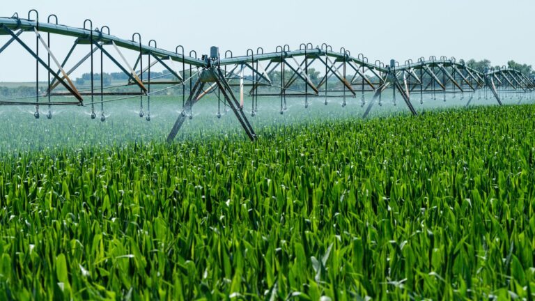
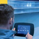
Referential photo.
Unlike many existing agricultural AI tools that focus primarily on prediction, the digital twin platform was initially designed to help growers better understand field conditions through immersive visualization.
Researchers combined the digital twin with virtual, augmented, and mixed reality technologies, allowing users to interact with a digital representation of a crop in the field. The system can integrate information from sensors, databases, and other precision agriculture technologies.
"It's not intended as an alternative to geospatial mapping tools, or a conventional Internet of Things (IoT) device deployed in the field," Falcone said. "It is an additional tool that should collaborate with all these types of resources."
Traceability applications
The platform also includes traceability applications. Researchers said the system will integrate digital product passports, certificates of origin, blockchain-based smart contracts, and other verification tools.
Because the twin system uses augmented reality in the field, growers could potentially access real-time information tied to specific blocks or lots. Researchers are also exploring capabilities that would allow remote users, such as certifiers and inspectors, to virtually enter a digital representation of a farm and review conditions without traveling to the site.
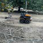
Referential photo.
Falcone said adoption potential will depend heavily on the specific characteristics of each commodity and the value the technology can provide to growers.
"We listen actively and very respectfully, of course, to the people who really know the field," he said. "Technology isn't the protagonist; technology comes to help professionals who really know their job very well."
The team is now seeking additional collaborations with agricultural organizations, cooperatives, and research institutions, particularly in Latin America, as the platform continues to develop.
*Photos courtesy of Francisco Falcone.
Related stories
Pioneering AI model “cracks” the secrets of peanut flavor code


Subscribe to our newsletter