








High-intensity atmospheric river to test central Chile: Fresh produce industry urges strict preventive measures
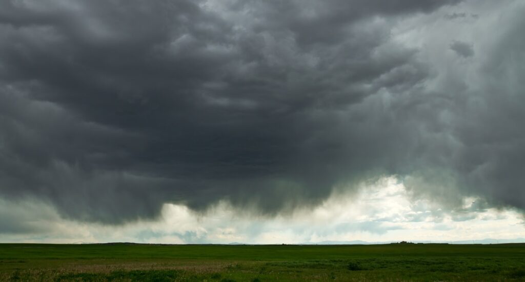



THIS IS A DEVELOPING STORY | LAST UPDATE: FRIDAY, JULY 17, 2026, AT 2:10 PM EST


The arrival of an intense weather system is keeping much of Chile’s central and south-central regions on high alert over the coming days. The system is accompanied by an atmospheric river that could reach Category 5 in some areas—the highest level on the international scale used to classify these meteorological phenomena.
The Chilean Ministry of Agriculture is monitoring the situation, as initial on-site assessments indicate that the impact on agricultural areas and operations remains limited in both scope and intensity, with reports of greenhouses damaged by strong winds and flooded prairies.
From the Ministry's Agricultural Disaster Risk Management Unit (UGRA, for its initials in Spanish), the Under Secretary, Francesco Venezian, said that, despite there being no reports of considerable productive damages, the situation could change as it is expected that the weather front will intensify in the next few hours.
The government representative called ag workers to take care and be cautious. He recommended clearing waterways and the evacuation routes from planted areas to decrease the time water stays on the fields.
As the weather front develops, experts from the local institutions, the University of O'Higgins (UOH) and the University of Talca, agree that while this is a major event, its actual impact on the ground will depend on key factors such as the system's temperature, the altitude of the freezing level (zero-degree isotherm), and local geography.
What is an atmospheric river?
Raúl Valenzuela, UOH academic and researcher at the Center for Climate and Resilience Science (CR2), explained that an atmospheric river is a vast corridor of concentrated water vapor that transports moisture from the ocean to the continent, feeding storm systems and driving heavy rainfall.
"We can think of an atmospheric river like a river flowing in the sky rather than on land," Valenzuela noted. "Instead of carrying liquid water, it transports water vapor, which, upon condensing, triggers heavy precipitation.”

Regarding the Category 5 rating, the academic said atmospheric river classifications are based on two variables: the amount of water vapor transported and the duration the system lingers over a specific area.
In this case, a significant amount of moisture is projected to last nearly 72 hours. However, the researcher clarified that a high category rating does not automatically guarantee a catastrophic outcome.
"The impact also depends on the specific characteristics of the atmospheric river and the geography of the area where rainfall hits," he pointed out.
Fortunately, this event is characterized as a cold atmospheric river. This will help maintain a lower freezing level, meaning much of the precipitation in the Andes will fall as snow. "We expect a severe event, but one that develops gradually. This lowers the probability of flash floods and sudden river swelling," Valenzuela added.

Agroclimatologist Patricio González Colville from the University of Talca warned that the weather system, which started on Tuesday afternoon (July 14), is expected to stretch through Saturday (July 18), dumping rain between the Coquimbo and Los Lagos regions.
The expert indicated that the system will bring a Category 4 atmospheric river to south-central regions. This is classified as "strong" and carries high risk due to the immense volume of moisture and warmth it will inject into the frontal system.
Monitoring the freezing level
González explained that a critical variable to monitor is the freezing level (zero-degree isotherm), initially estimated at an altitude between 2,300 and 2,500 meters (approximately 7,500 to 8,200 feet).
If this elevation rises during the storm, it could trigger rapid snowmelt, leading to mudslides, active ravines, and flash floods. This mirrors the devastating floods of August 2023 in the Mataquito River basin, on the border of the Curicó and Talca provinces in the Maule Region.

The academic issued a strong warning to the agricultural sector to secure its infrastructure immediately.
"Growers are strongly urged to take precautions to prevent flood damage to their properties, securing irrigation systems, sluice gates, and distribution canals. River surges typically carry mud and debris that can end up deposited in fruit orchards," González warned.
Climate change vs. water deficit relief
Valenzuela noted that current scientific evidence cannot yet definitively link atmospheric rivers to climate change, as there is not enough data to determine whether they’re becoming more frequent or intense.
However, he explained that conditions associated with the El Niño phenomenon promote greater evaporation over the Pacific Ocean, increasing available water vapor and, consequently, the potential for heavy rain.
On the other hand, González emphasized that despite the immediate risks, the storm will help alleviate the severe water deficit plaguing central Chile. It will bolster snowpack accumulation in the Andes and replenish reservoirs critical for agricultural irrigation and hydroelectric power generation.
Both experts advise the public—and the farming community—to stay updated via official channels such as the Chilean Meteorological Directorate (DMC) and SENAPRED, avoid unnecessary travel during peak storm hours, and exercise extreme caution in the foothills and mountainous areas prone to mudslides and rising rivers.
*All images are referential.
Related stories
From weather challenges to export success: A look into the 2026 Southern Hemisphere citrus season











Subscribe to our newsletter